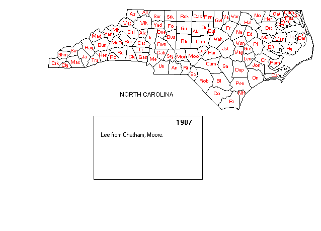
This map shows North Carolina as it existed in 1907 before the creation of Hoke County. Note the size and position of Hoke's parent counties, Cumberland (Cum) and Robeson (Rob).
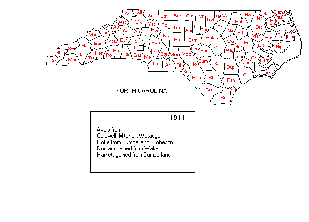
This map shows Hoke (Ho) County in 1911 after its creation from Cumberland (Cum) and Robeson (Rob) counties. This is the shape of Hoke County today.
Gold Bug Historic
Maps & Software.