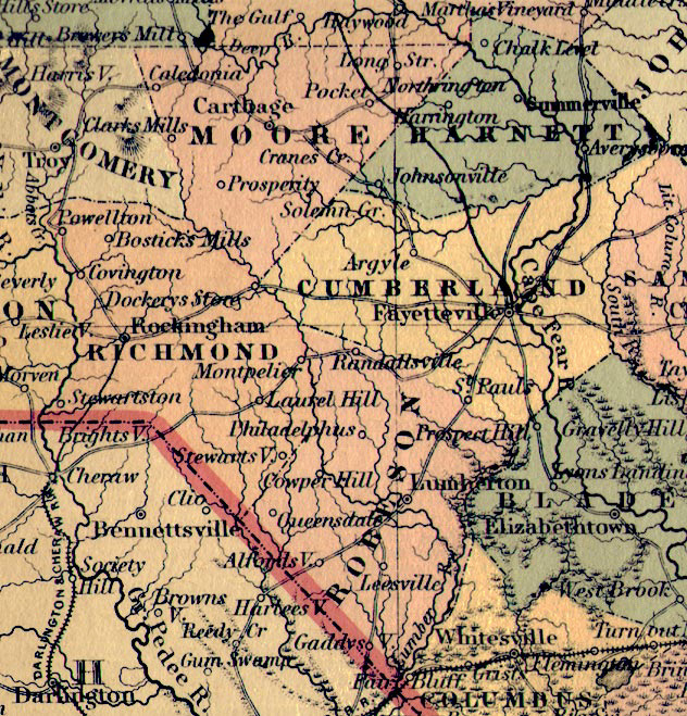
Regional Map of North Carolina - 1855
Posted by Myrtle Bridges October 1, 2003
Steve Edgerton found and scanned the Cumberland, Richmond, Robeson, Moore, and Harnett
region for this site from a full map of NC. It was printed in 1855.

A second map printed in 1850 shows the same area from the following map: A New Map of NTH. CAROLINA
with its CANALS, ROADS & DISTANCES from place to place along the STAGE & STEAM BOAT ROUTES.
 |
NORTH CAROLINA Published by J.H. Colton & Co. No. 172 William St. New York
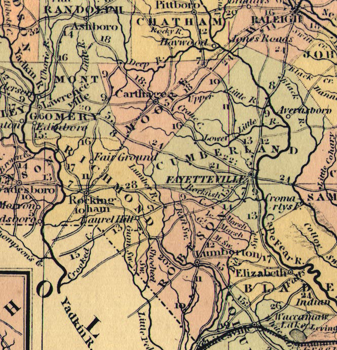 |
Published by Thomas, Cowperthwait & Co. No. 253 Market Street Philadelphia Printed 1850
 Return to Richmond County Homepage
You are the
visitor since October 01, 2002