- A map of the most inhabited part of Virginia containing the whole province of Maryland with part of Pensilvania [sic], New Jersey and North Carolina, drawn by Joshua Fry & Peter Jefferson in 1751
- Great Philadelphia Wagon Road
- Battle of Guilford Courthouse drawing by Jessop
- Battle of Guilford Courthouse as portrayed by a British 1787 map
- Battle of Guilford Courthouse map from unrecorded source
- map of Guilford’s first county seat, until 1808, Martinville
- map of Guilford County in 1808
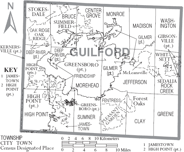
- Township Map of Guilford County
- Bird’s Eye View of the City of Greensboro ~ 1891
- 1895 map of Guilford County
- Aero View of High Point, North Carolina ~ 1913
- 1919 map of Greensboro, from the University of Texas collection
- North Carolina Maps in the UNC Documenting the South collection — includes Sanborn maps
- Maps in the United States Digital Map Library
- Guilford Landowners Maps, 1952, on Historic Map Works site
- Greensboro Area Maps from the Visitors Bureau
Parts of the towns of Archdale, Burlington, and Kernersville are located in Guilford County; Guilford also has the census-designated places of McLeansville and Forest Oaks.


